Smoky Bay's coastline was first sighted and mapped by Matthew Flinders in 1802. He named it 'Smoky Bay' after the amount of smoke which could be seen from fires that had been lit by the First Nations People in the area.
In the early 1860’s pastoralists arrived in the area. One such sheep grazing property owned by Charles Heath was called Wallanippie, which was named after a waterhole near his homestead at the back of Point Brown Promontory.
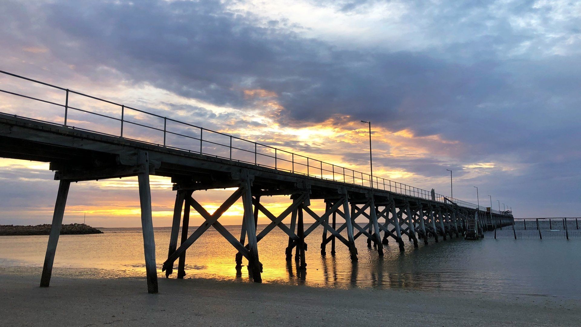
In the early 1900’s buildings started to appear at Smoky Bay, the first in 1905. In 1911 the Post office was established and a repeating station. Living quarters were then also built to accommodate the workers. The town continued to grow with a school, town hall by 1909 and then the Smoky Bay jetty in 1913.
The town of Smoky Bay was surveyed in 1913 under the name of Wallanippie, along with the aforementioned jetty and a Harbor's Board reserve. A large galvanised iron goods shed and a railway line extending to the far end of the jetty was established, allowing the town to operate as a port.
The town's original name of 'Wallanippie' was officially changed to 'Smoky Bay' in 1940. This was due to the fact that locals had always called the place ‘Smoky Bay’ since the towns establishment.
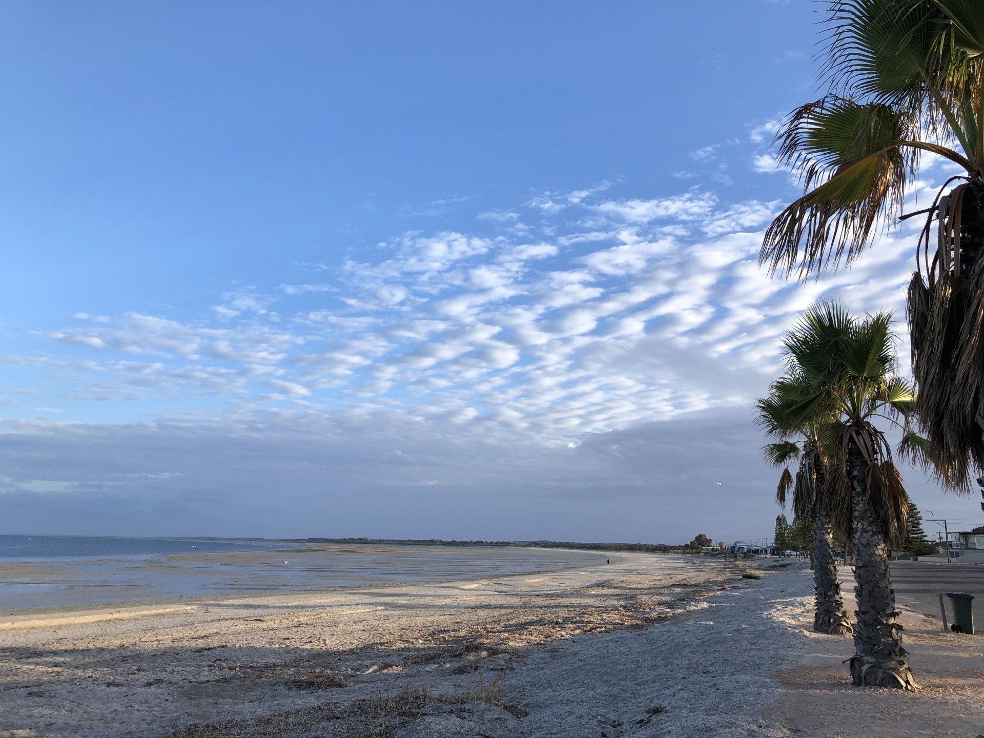
Just like Haslam 30 kilometres away to the west, by the mid 1900’s the port was no longer viable, leaving the town as just a residential and agricultural centre for the surrounding community.
The growing of oysters was established in the Smoky Bay in 1988. This provided a new economic facet for the town, along with the towns growing popularity as a tourist destination.